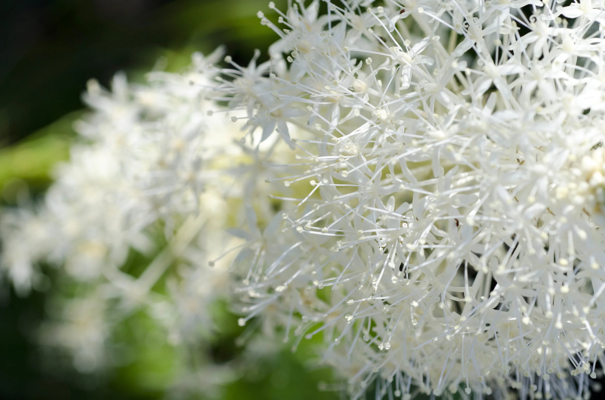
This is a beautiful flower called Bear Grass and it is the first plant that grows after a forest fire.
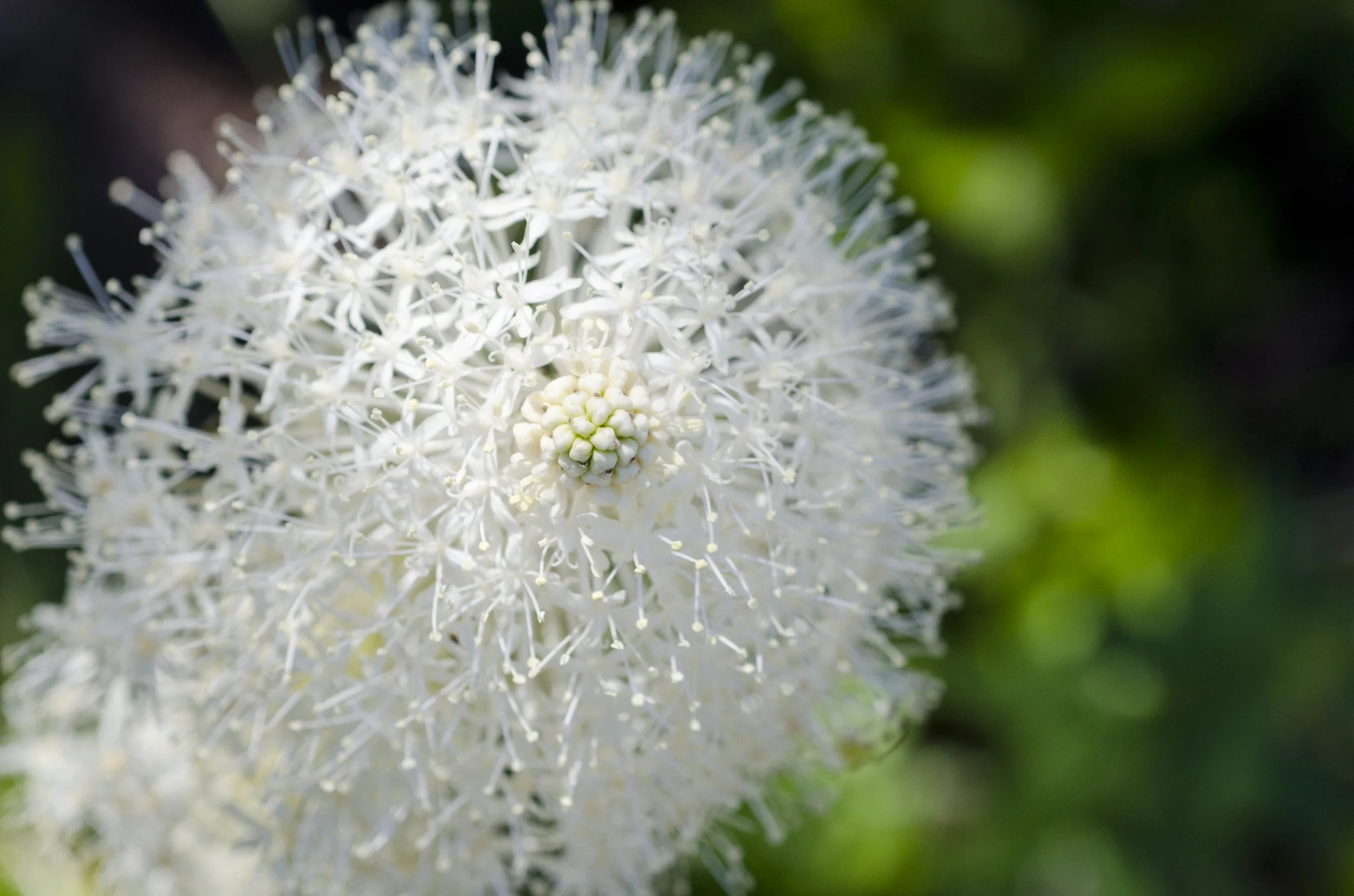
I am told that it only blooms every seven years or so - I do not know if that is a true story or just a way to let me know that this grass does not bloom every year and when it does, it should be appreciated in all of its loveliness. I appreciated mightily. In addition to being a bear grass rubber necker as we drove up and down a lovely pass through the mountains, I made the family pull over on the side of the road so I could take pictures.
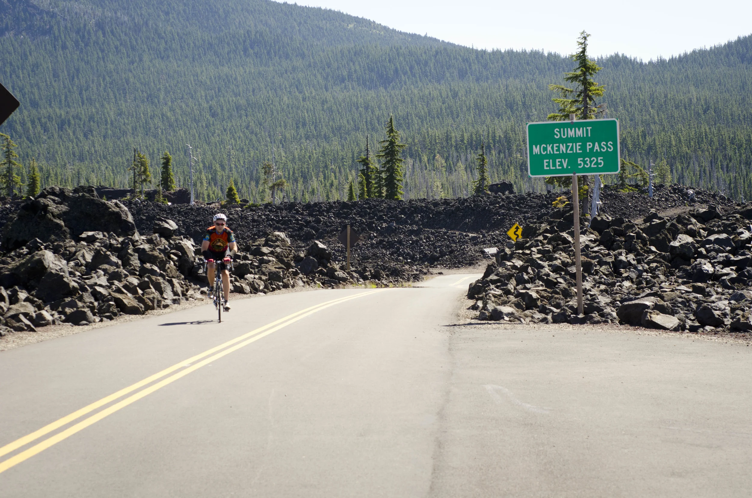
While I was doing so, this man rode by us going up the MacKenzie Pass.
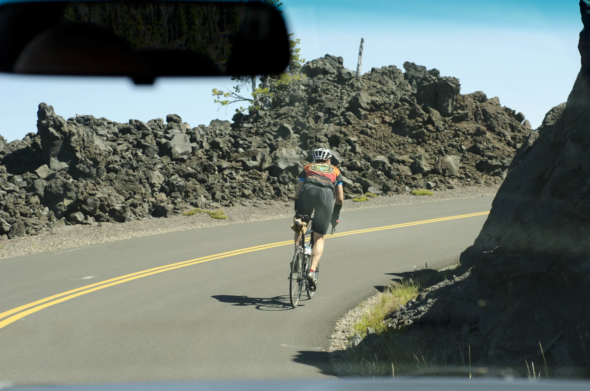
Follow that young, fit, impressive rider!
(This is PAD, now): Somehow I was allowed to bring my bike on this trip. I can hardly believe my luck because that brave move (on Kate's part) would entail some extra boy time and justification of hauling The Black Avenger (my bike) along. For me, it has meant fulfilling and exceeding a list of dream rides that have occupied my thoughts for at least half of my life. My consolation is that I've tried to leave pretty early so that I'm not away for most of the day and we can do things together. When possible, I try to fit in rides that dovetail with the day's plans (see Day 13: Sparks Lake for an example).
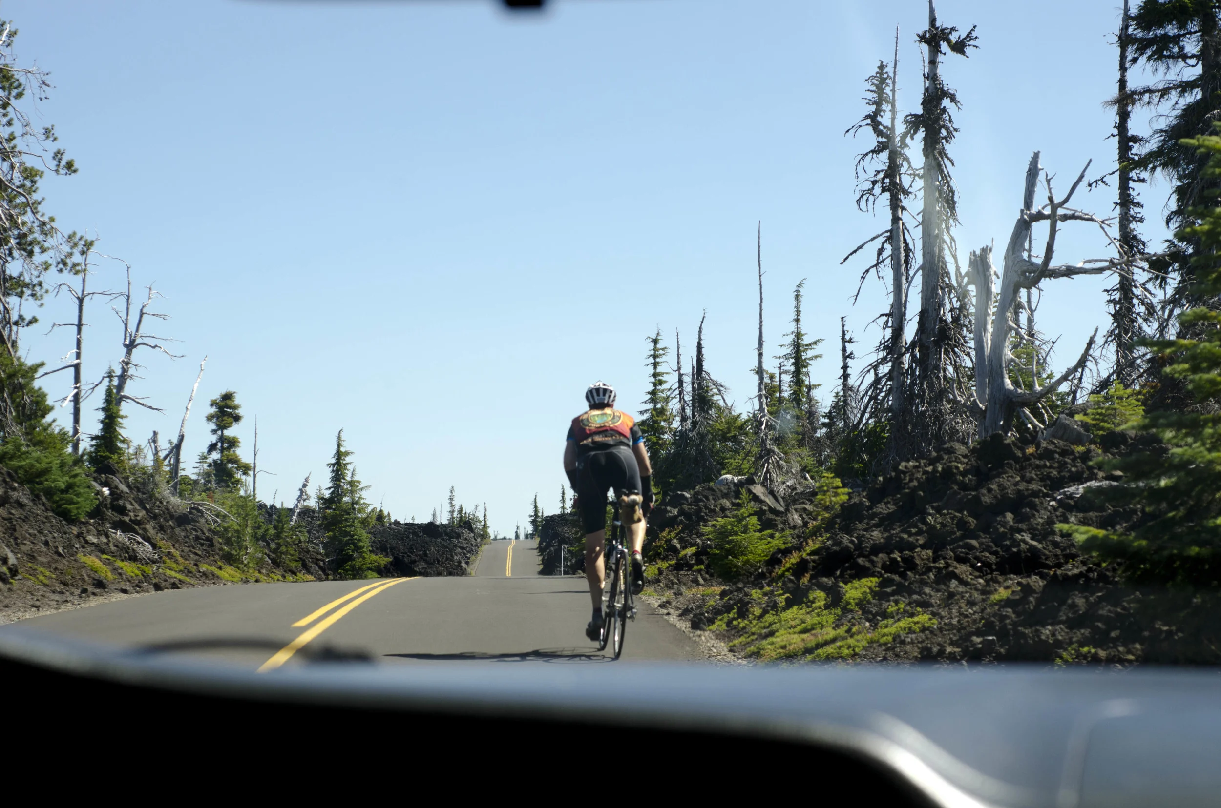
Today was a bit different, but generally followed the plan. My uncle gave me a lift to Sisters to cut out 15 miles and allow extra climbing. I set out about 45 minutes later to let the day warm a bit (mornings at 6am were about 48, which is pretty chilly in warm weather cycling gear). And I decided to live the dream -- head up Mackenzie Pass, a Bend-area classic ride that is also part of the Cascade Classic cycling race, and down the other side before heading back up to the pass.
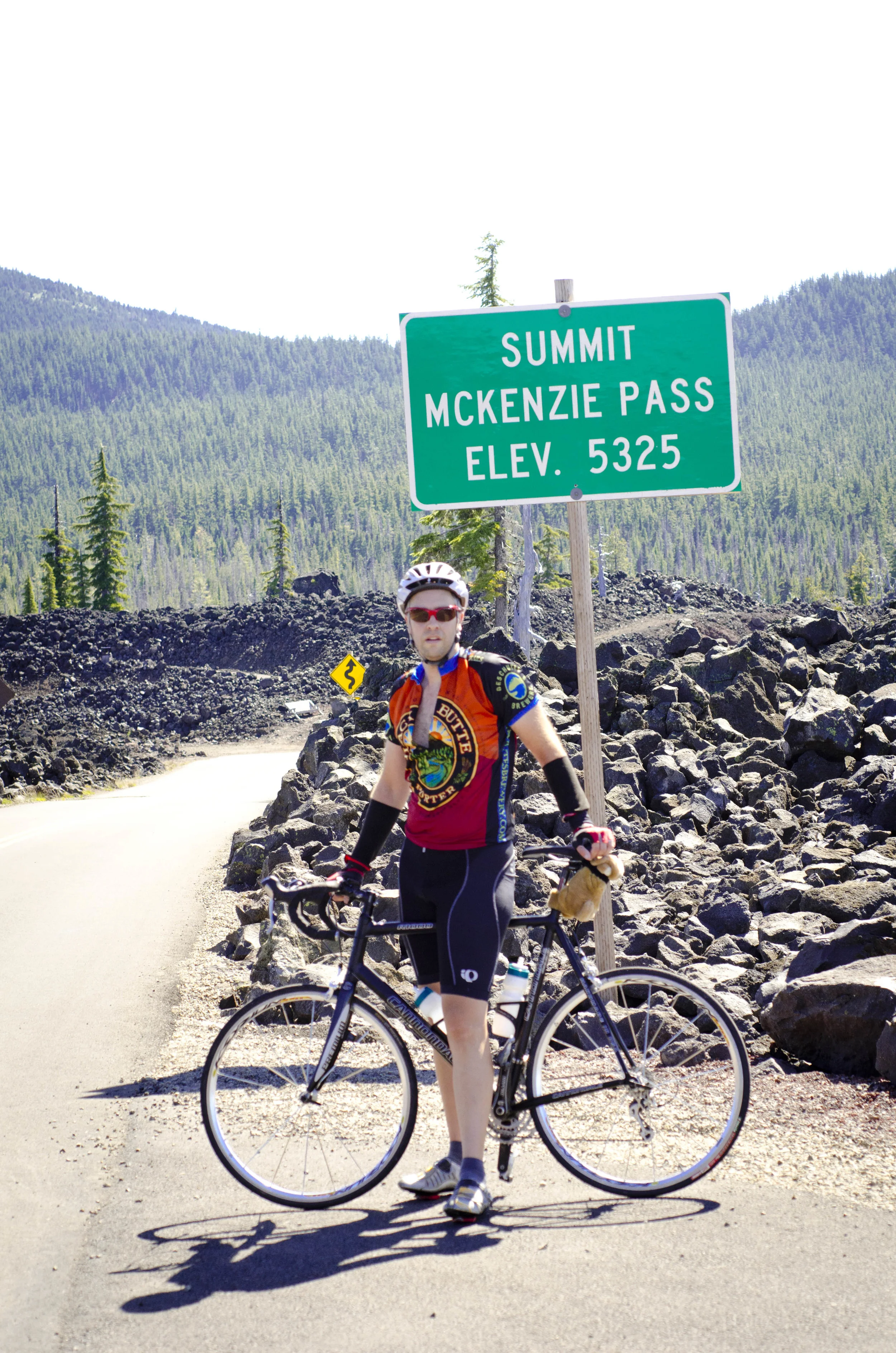
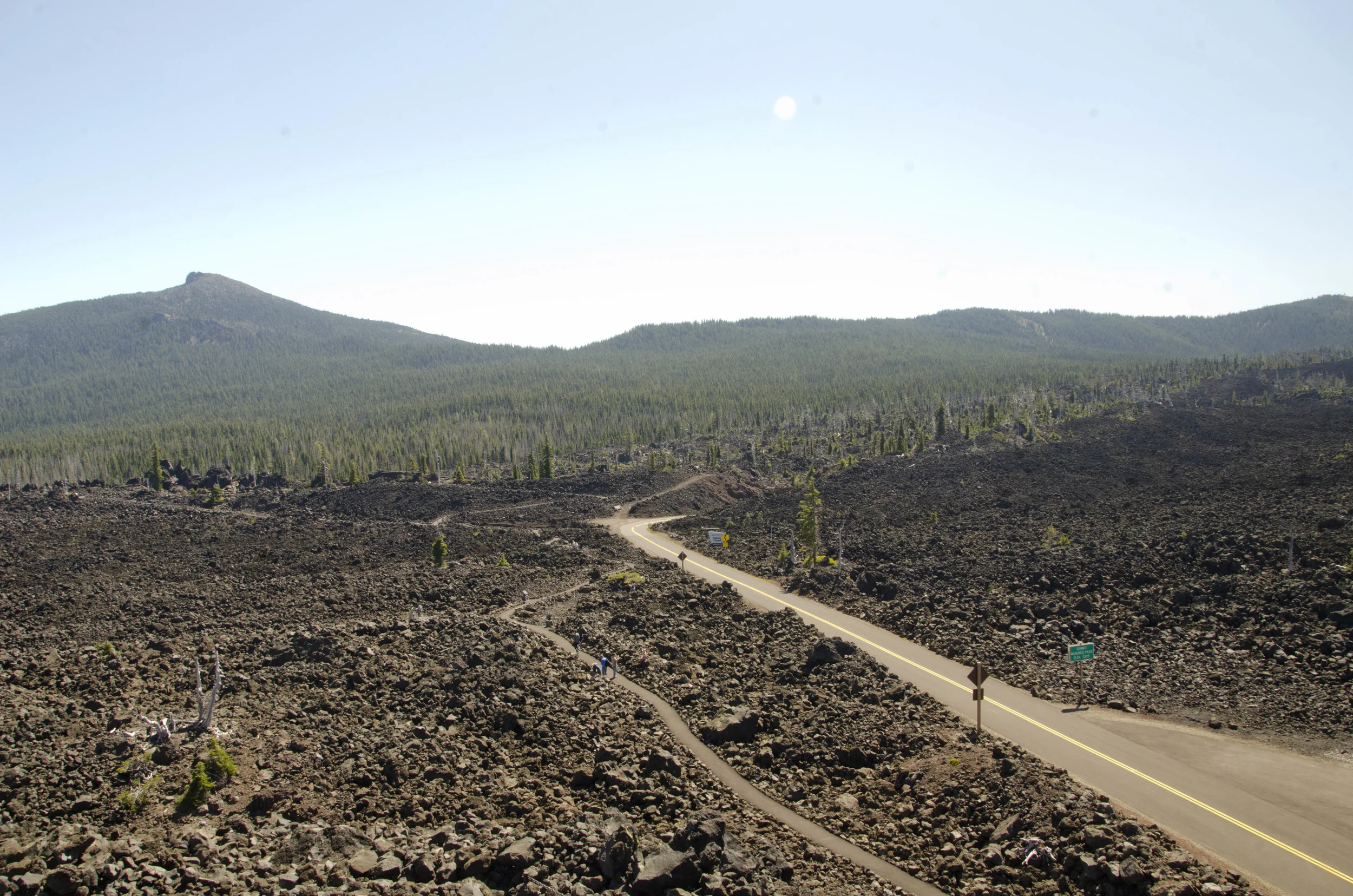
The east access from Sisters takes 15 miles (though the serious climb lasts about 10 miles) and climbs roughly 2000 feet. There are a few steeper patches (6ish percent?), but is otherwise just sustained climbing through changing forests to the lava moonscape at the top. The top ridge rolls and slowly descends for a few miles before taking a hard right into the most amazing descent I've ever experienced. The next 20 miles twisted, turned, and switchedback through deep forest on a newly repaved narrow road with bright paint. I didn't have the space to hit more than 45ish mph, but I would have beat a car down that descent by a good long time. I had one of the most pure senses of awe, joy, and gratitude I've ever experienced on this descent. Eventually I reached the bottom and the end of the road where it was time to reverse course and ascend what had been a quick 20 miles. This was not to be quick. I kept the odometer between 8-12 mph and somehow thoroughly enjoyed the outrageously long climb back to the top. The climb is nice because some agency put out markers every 1000 feet. I was a good bit below 2000 ft when I turned around, so the climb back up was in the neighborhood of 3500 feet. Only in the last few miles was I starting to grumble upon seeing the continued up after a corner, but that was when I had run out of water and food. Up until that point, the legs had juice and the pedals kept turning over more steadily than I thought possible. With 2 miles to go, the family (uncle Dan, aunt Ruth, Kate, and the boys) flew by me in the opposite direction blaring the horn and I told them to meet me at the summit -- no way was I not finishing this ordeal. Somehow, I was able to keep the bike rolling and even look like I still had something left entering the lava fields and ending at the Dee Wright Observatory.
In the end, I rode 56 miles, 36 of which involved climbing, 30 of it fairly severe. I averaged 15.1mph, which owes a lot to the 20mi descent. It was, by far, the most spectacular ride I have ever taken and one I will not soon forget. Thanks legs! Thanks family! Thanks friends!
--PAD, out...
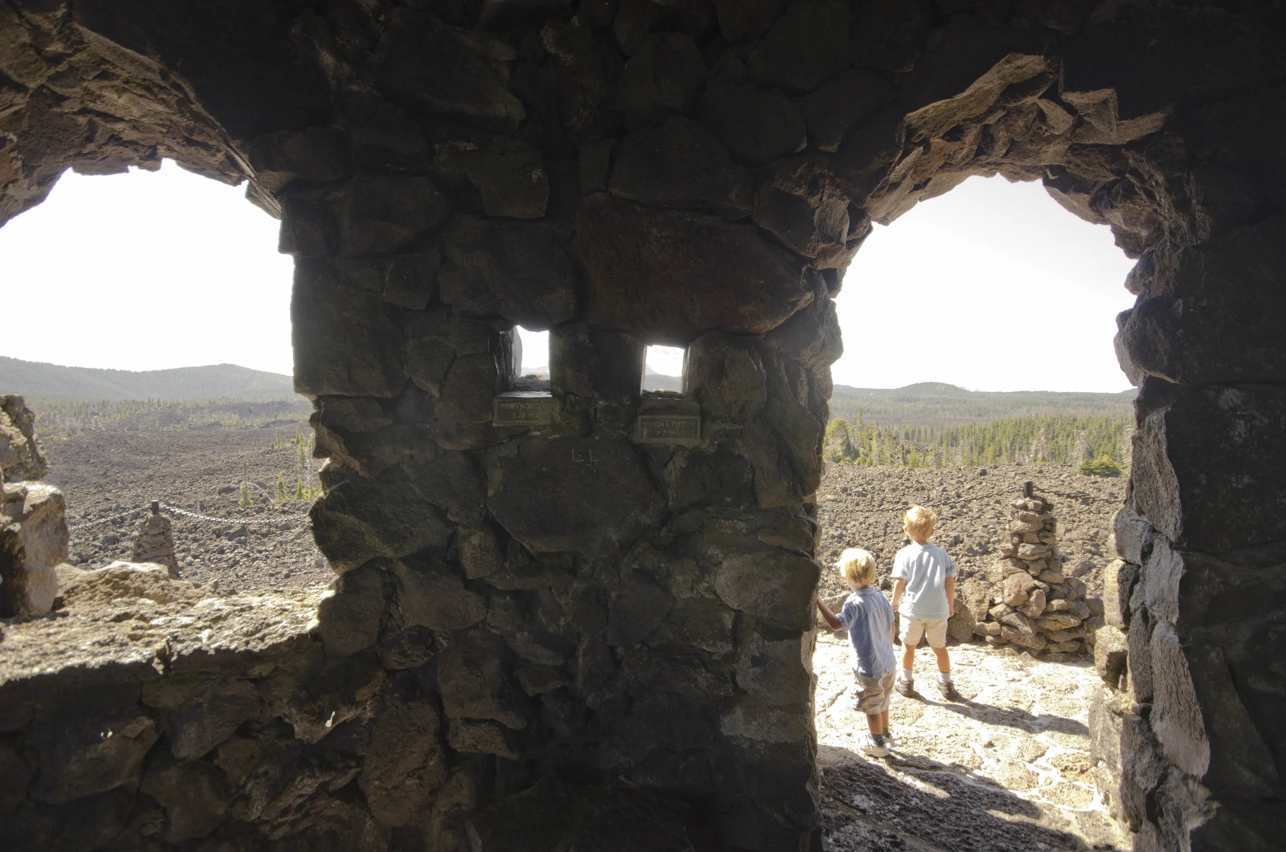
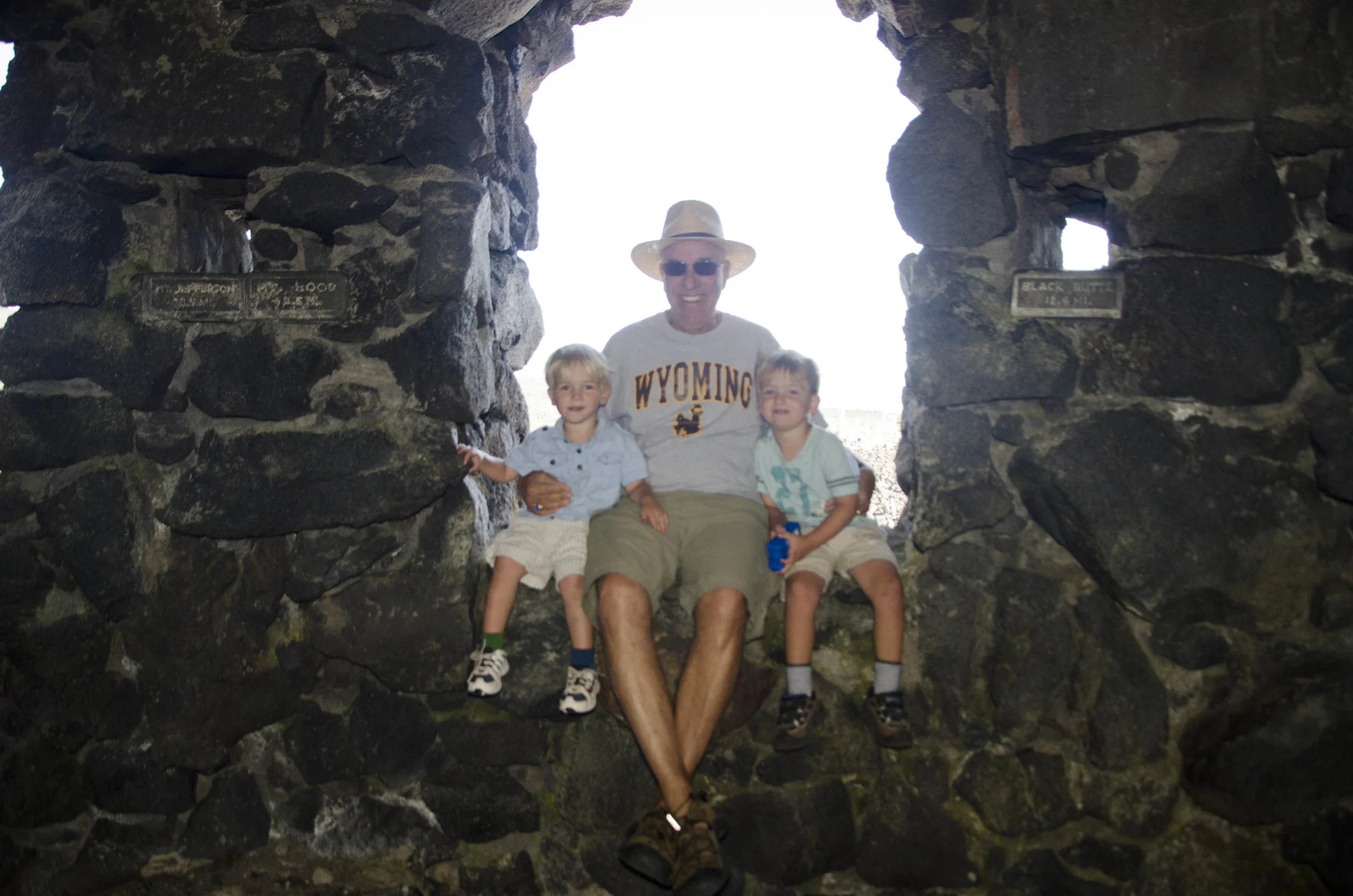
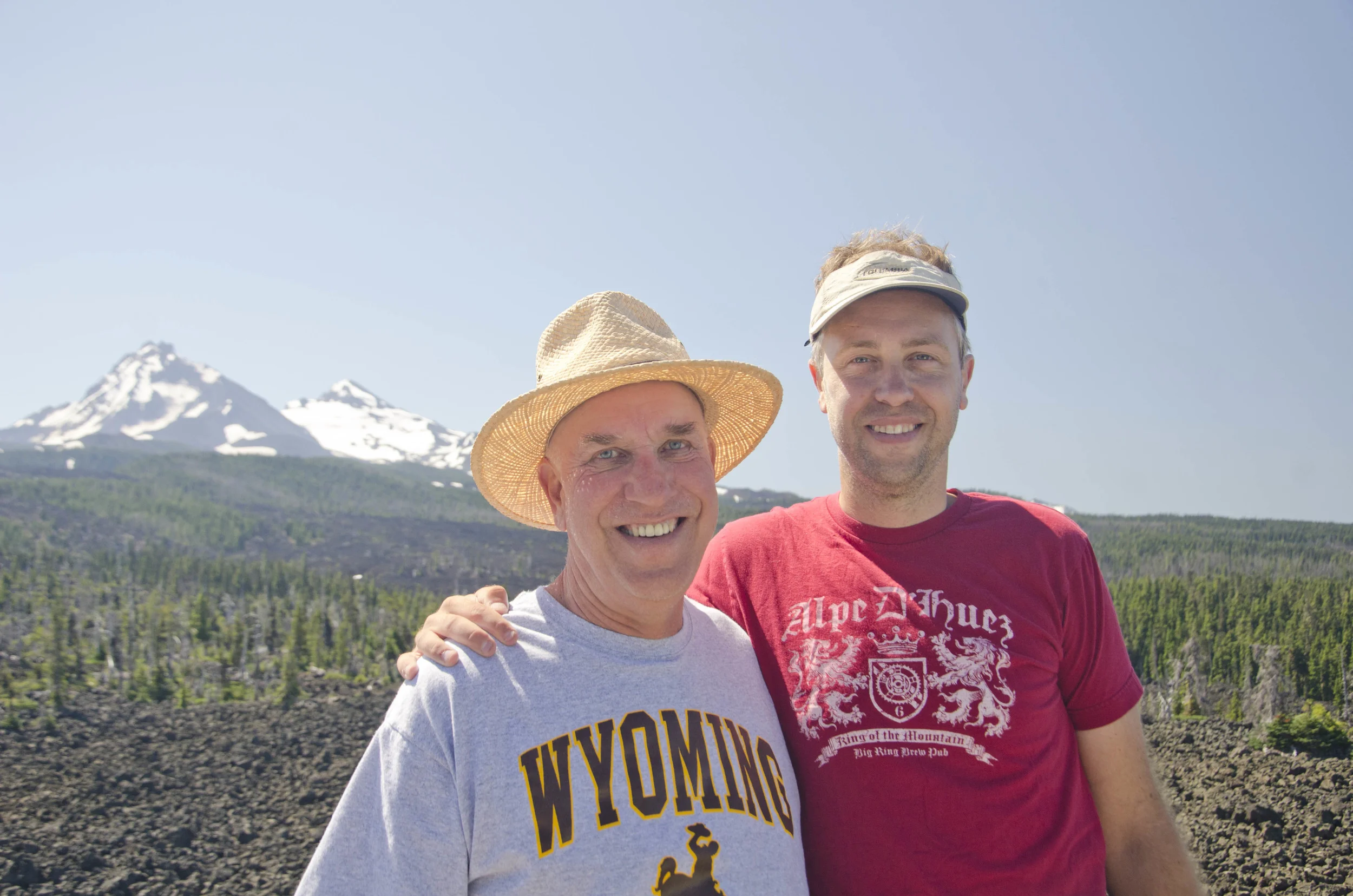
We met him at the top where the Dee Wright observation tower allowed us to see the full view.
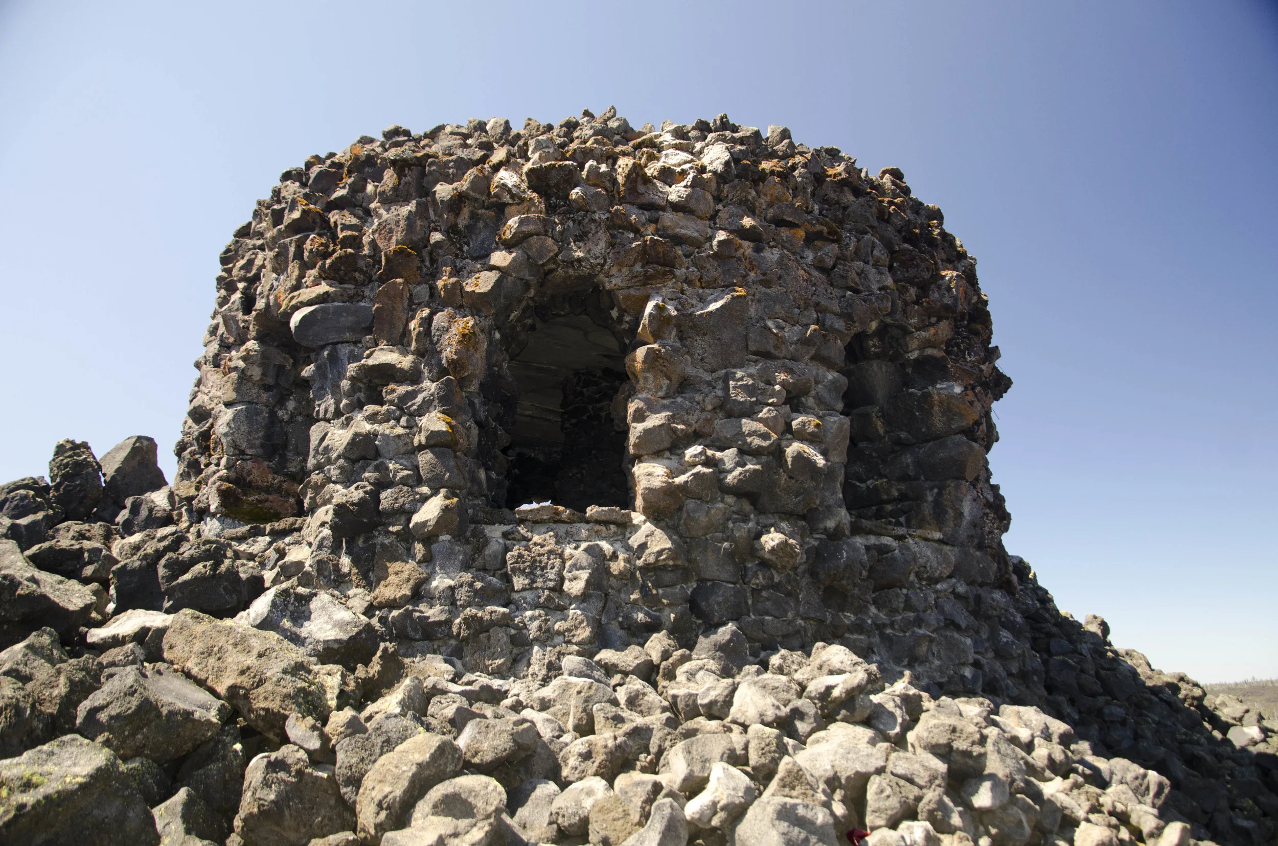
Each of those windows and little holes in the wall is labeled and provides a view of a peak or butte.
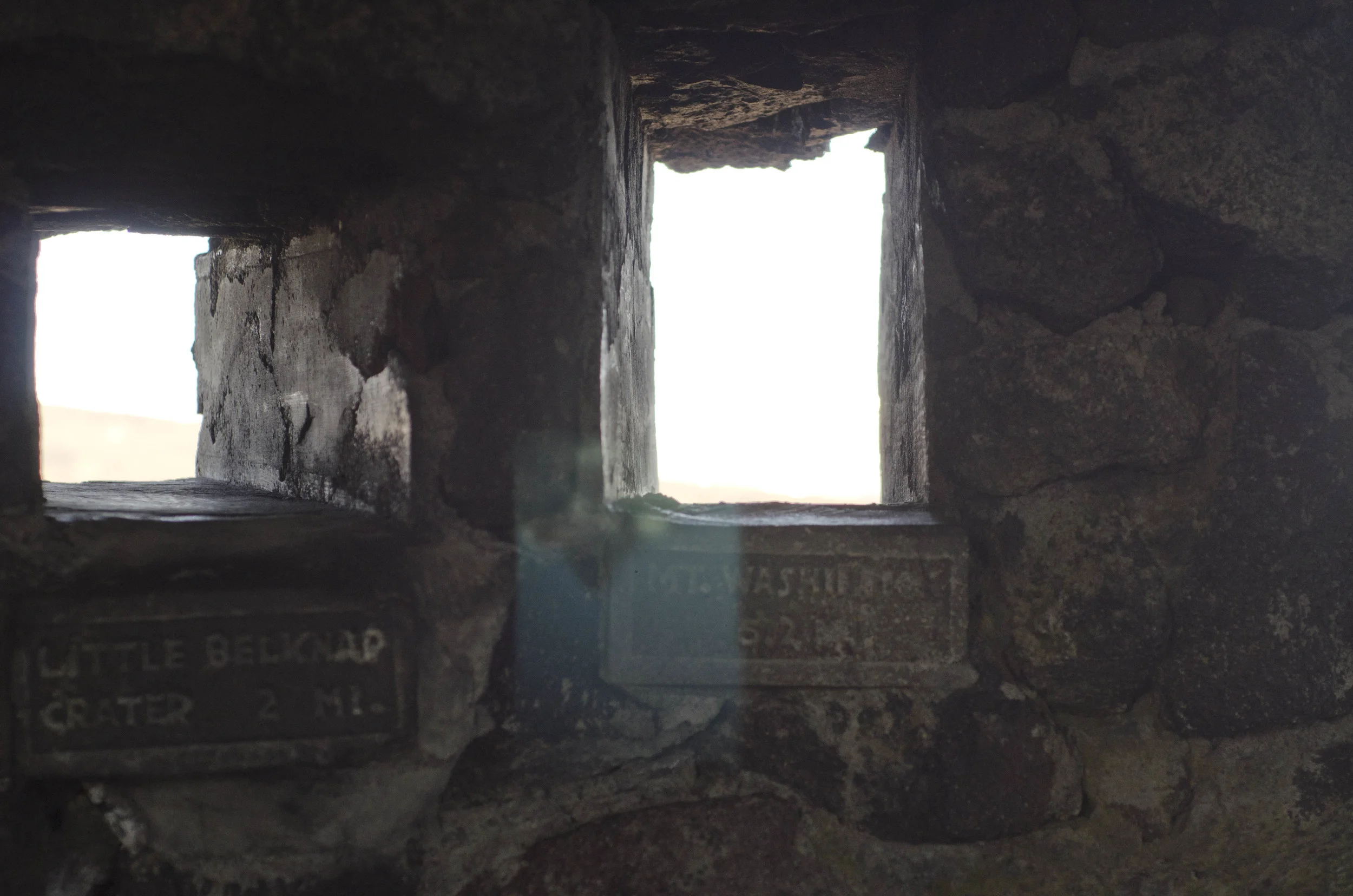
And you cannot really take a picture on a sunny day that shows the inside detail and the outside view. Except for that one. Do you see the reflection of the mountain off of my camera lens and back onto the wall? The upside down mountain?

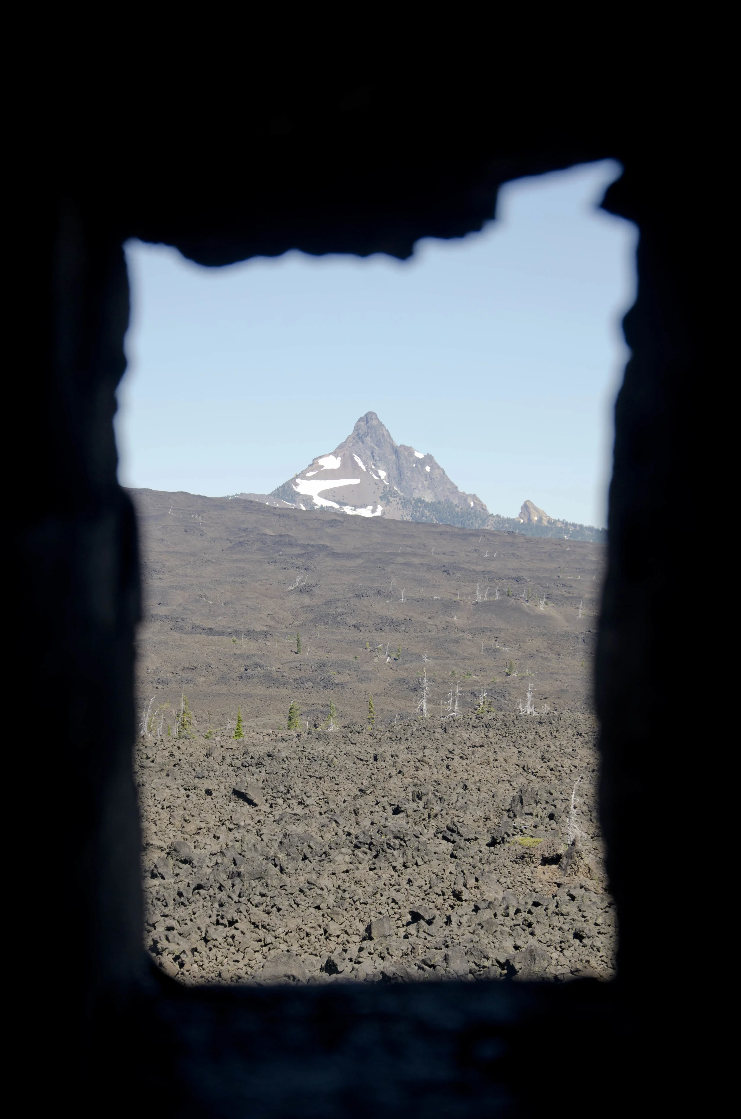
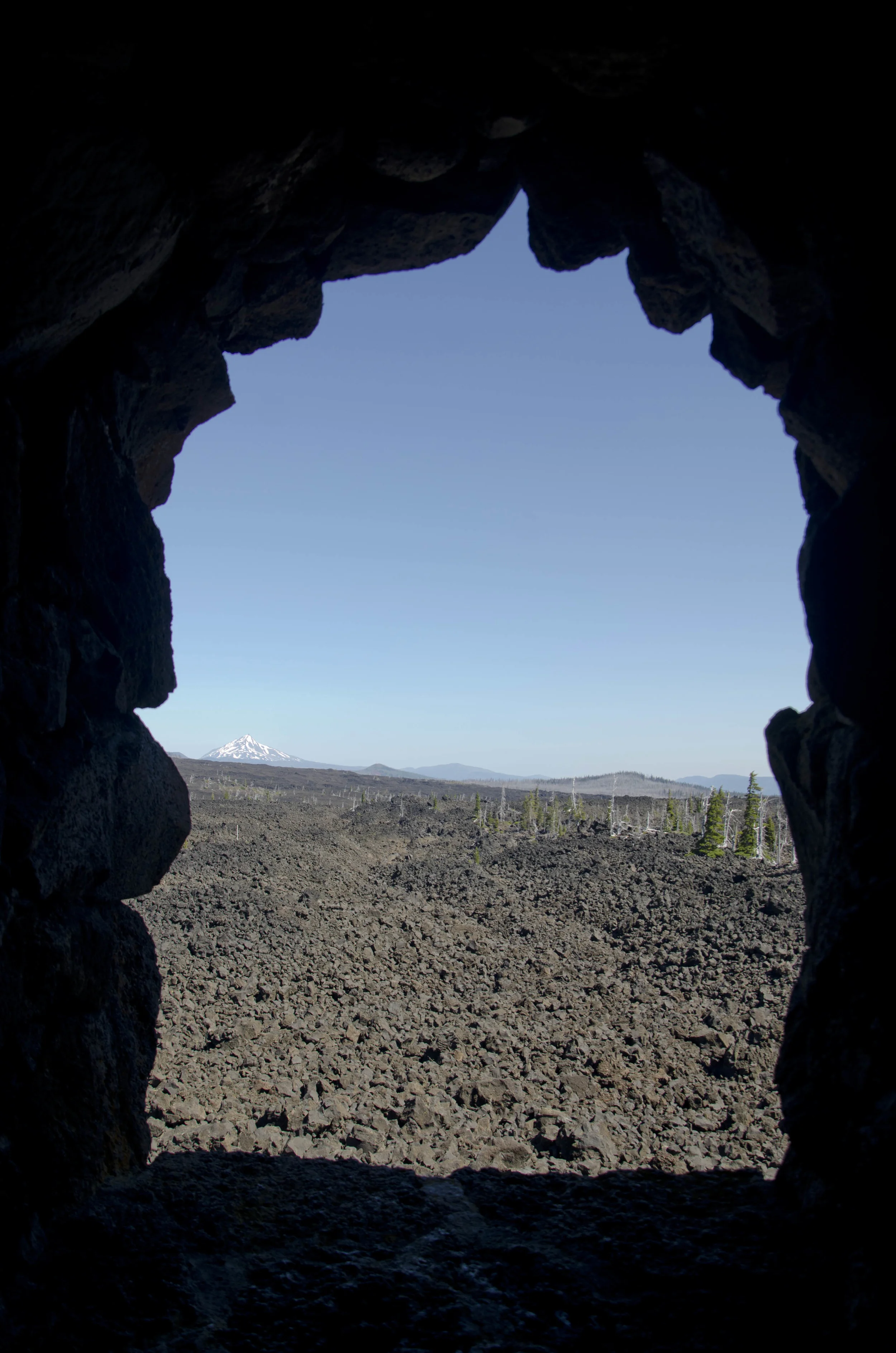
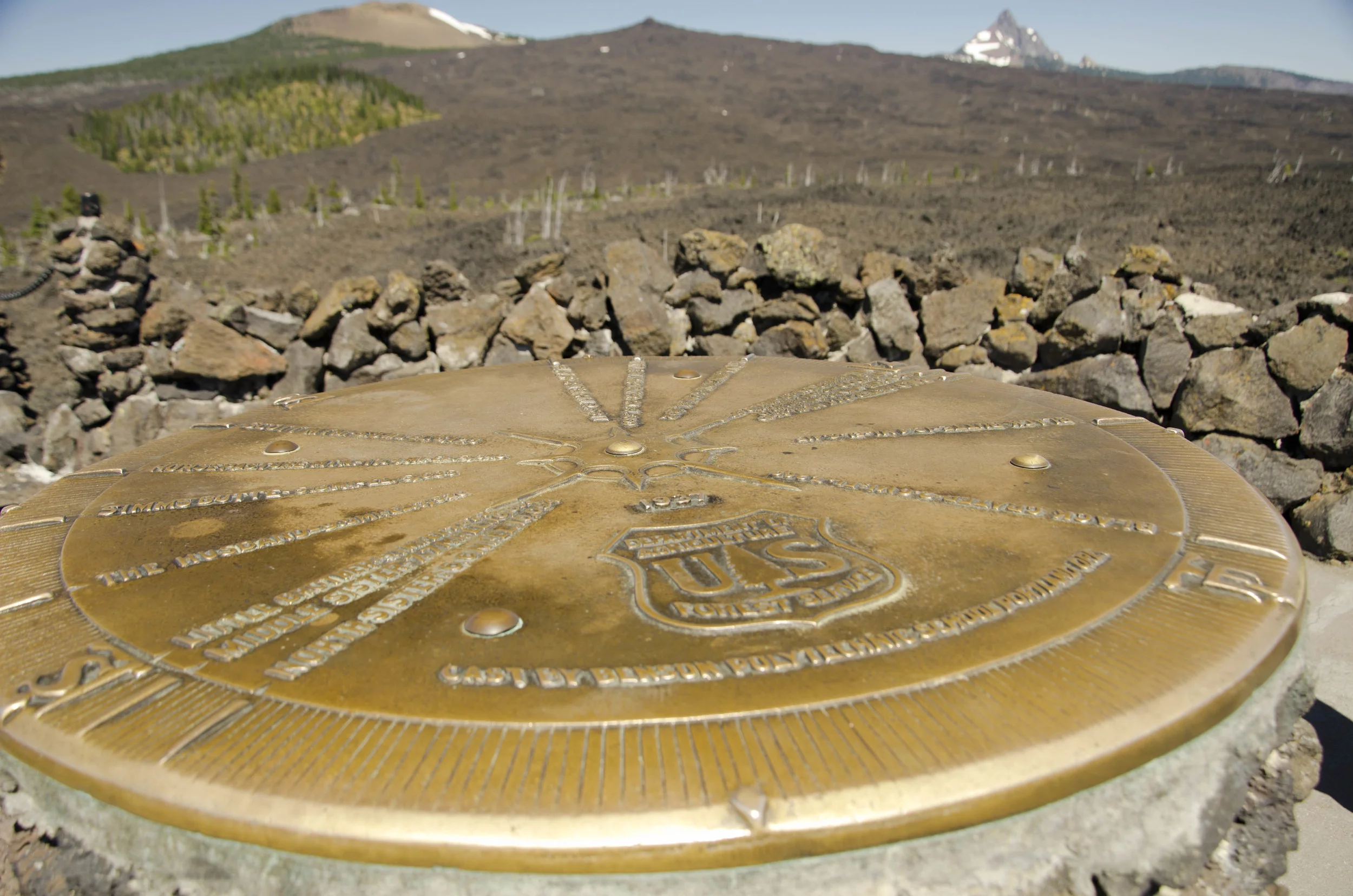
This mountain key is the answer to "What is that peak over there?" in a place far from Google's reach. Well, at least, far from cell reception.

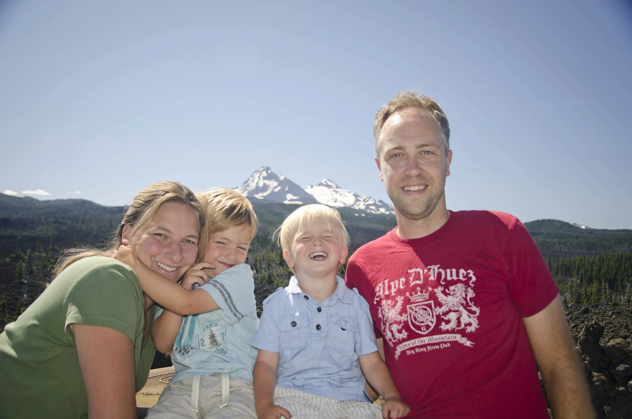
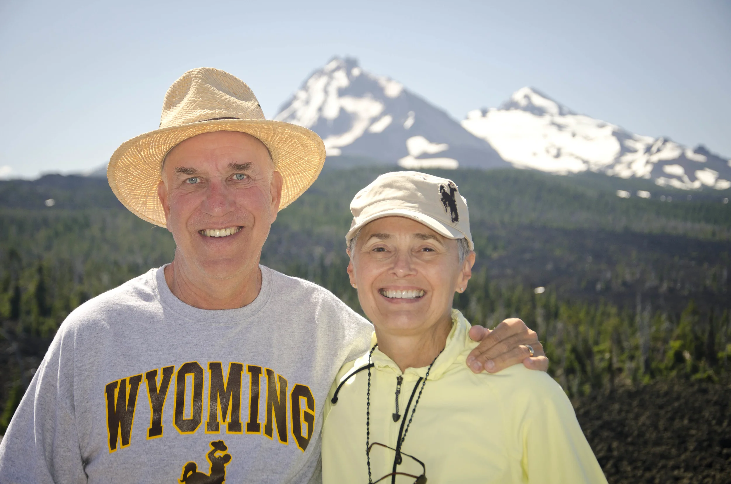
The Dee Arthur viewpoint also provided a great backdrop for family photos.
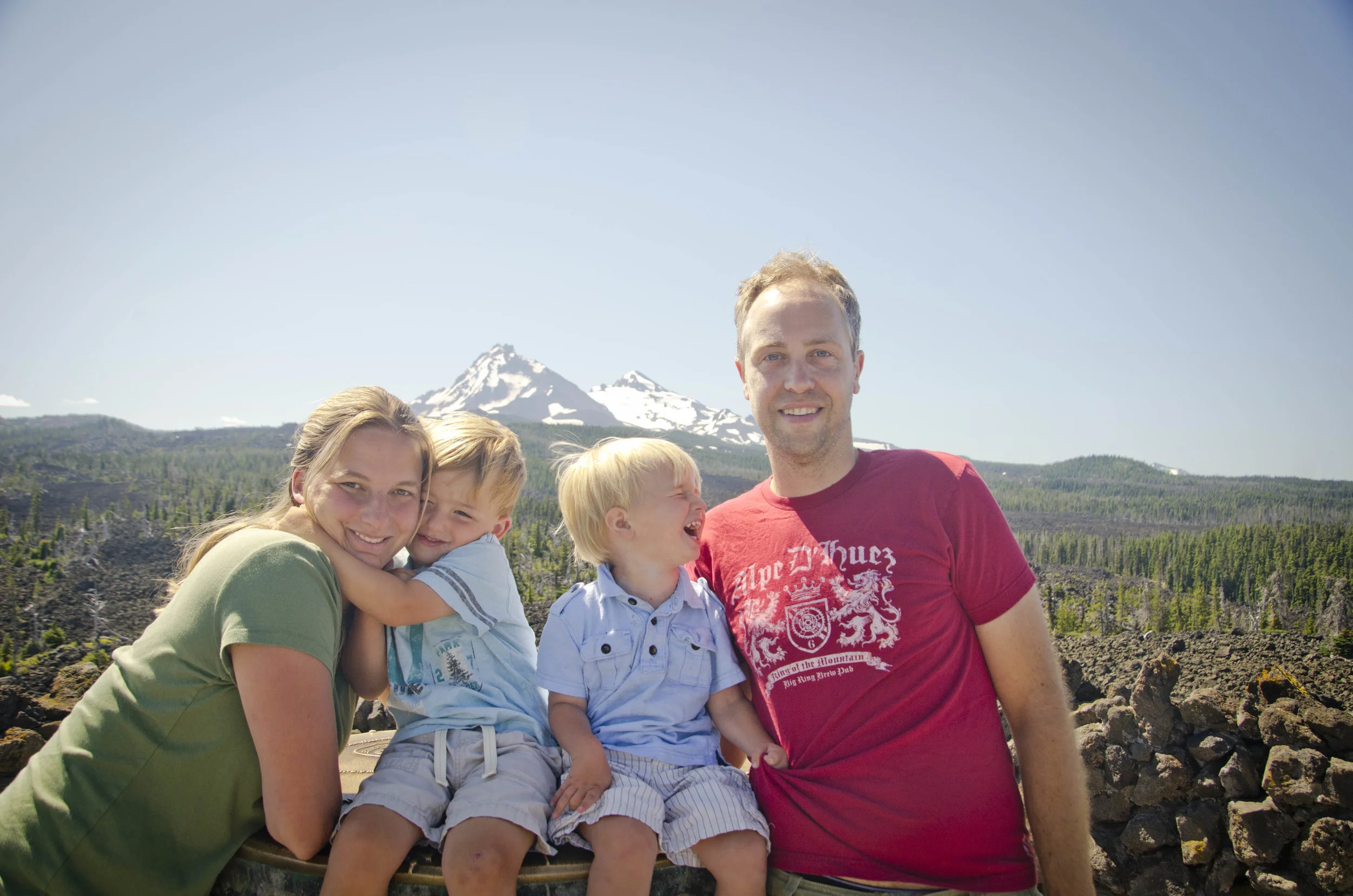
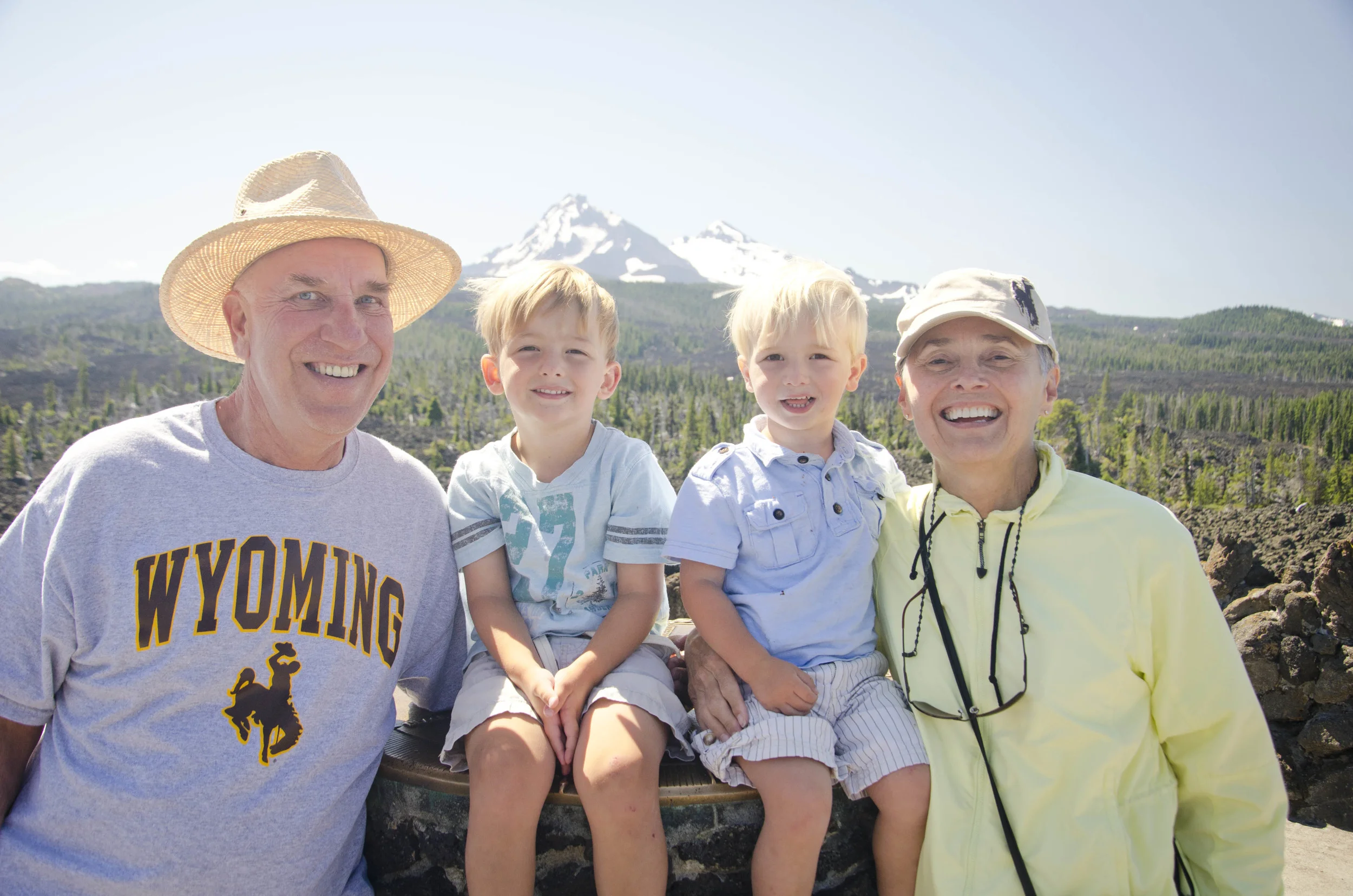
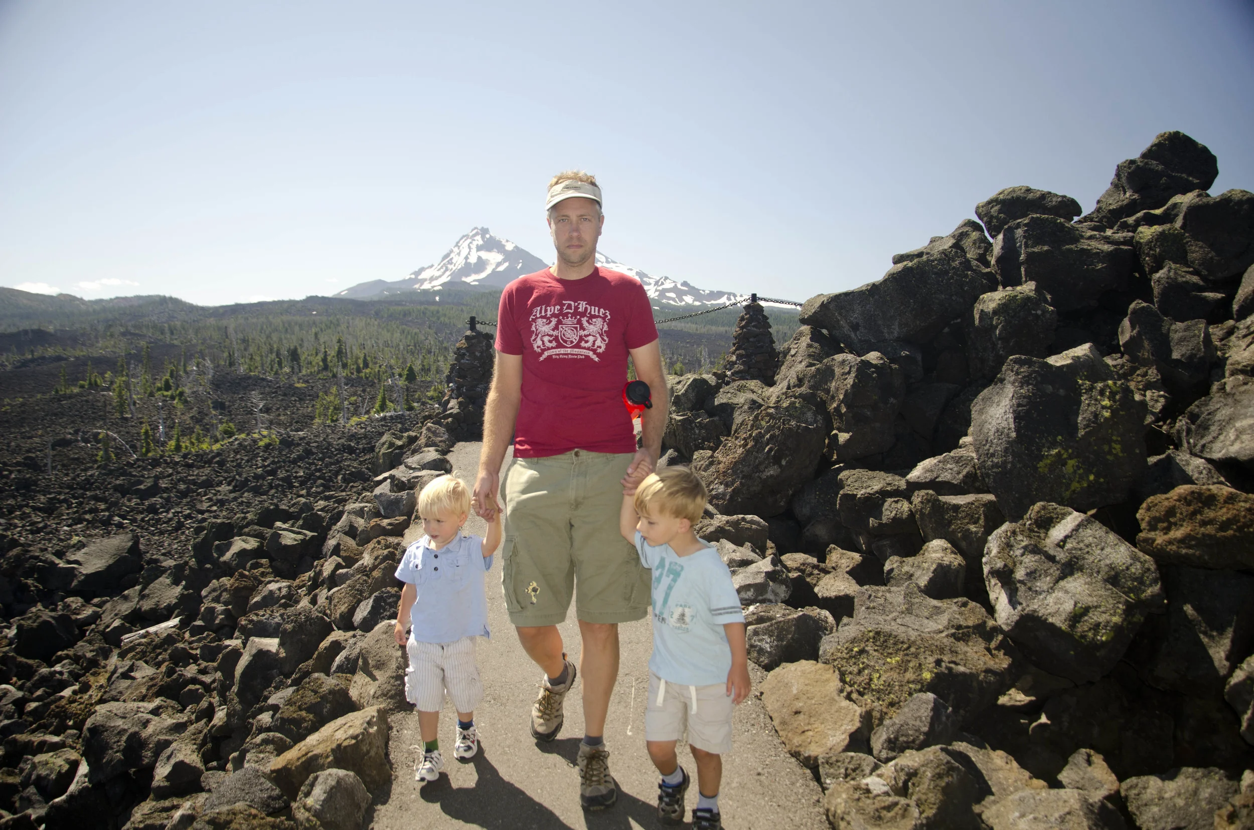
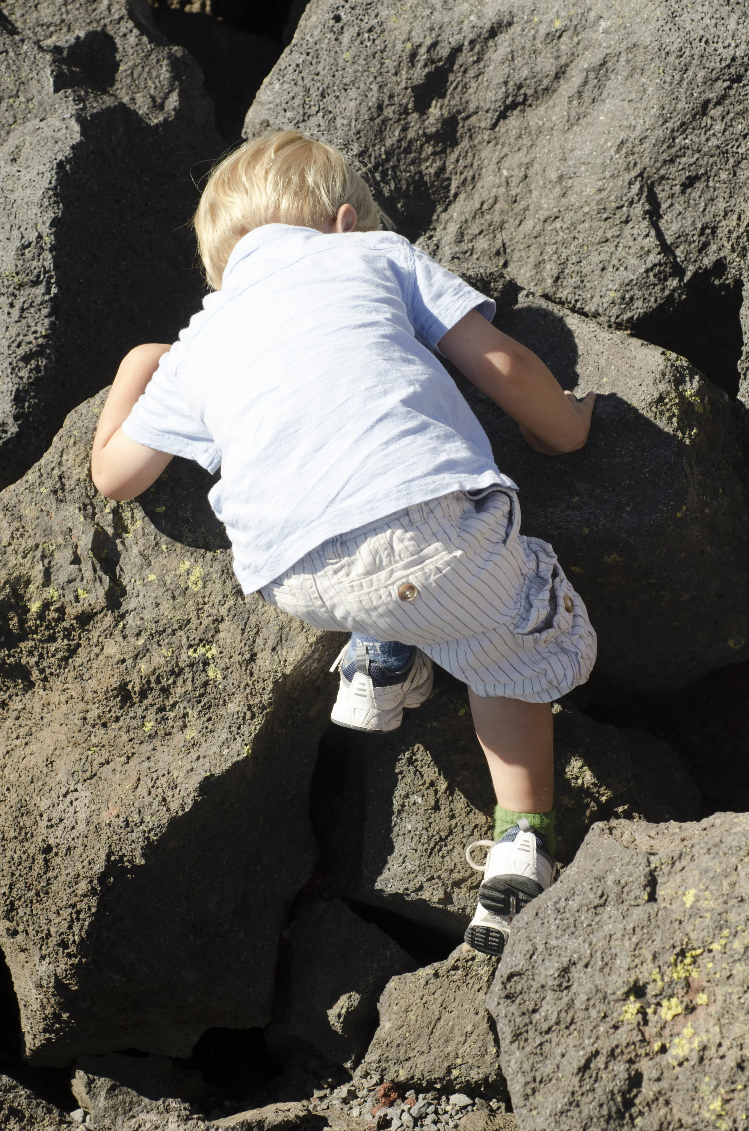
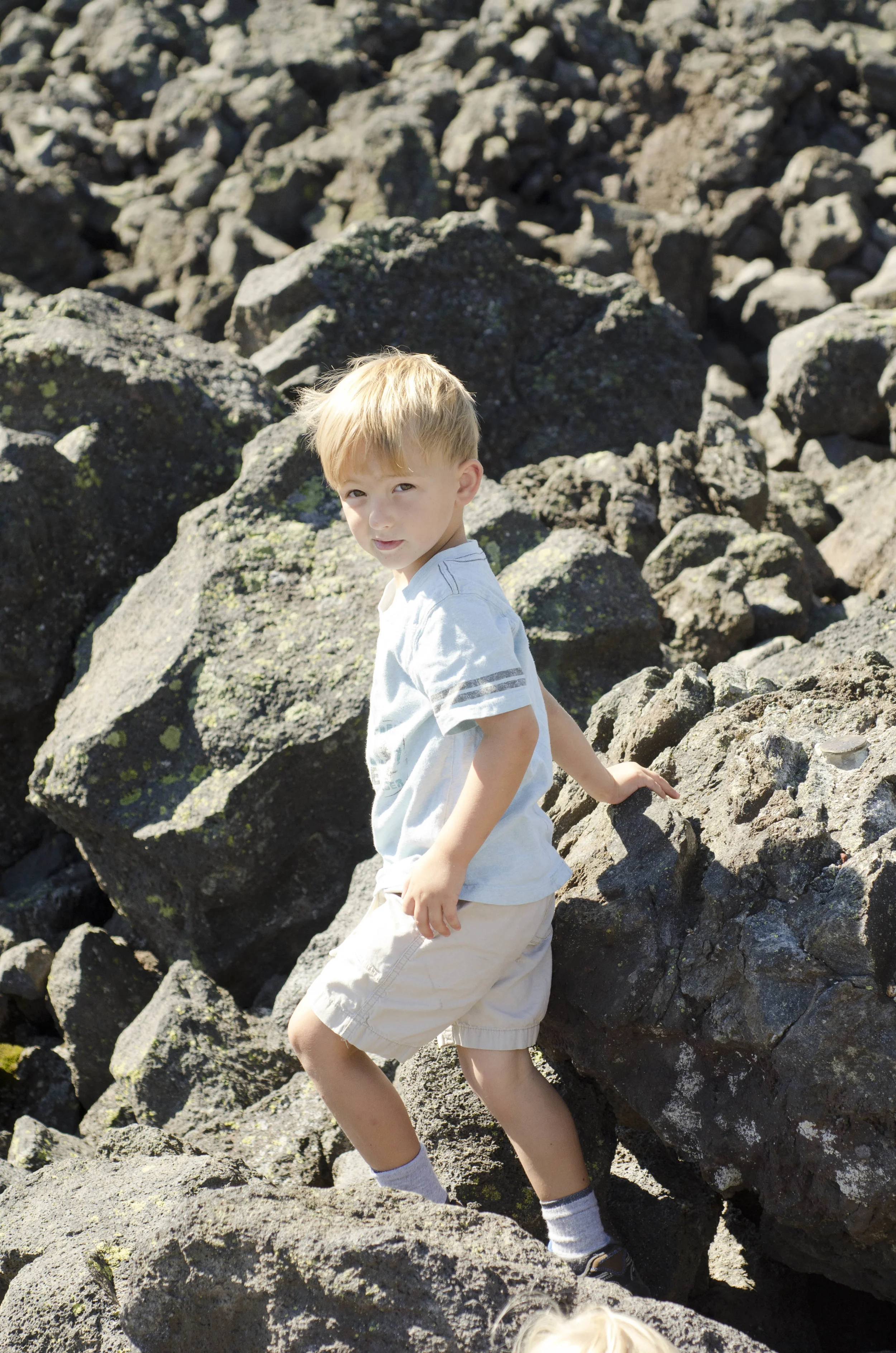
The kids were especially happy to finally get to climb rocks.
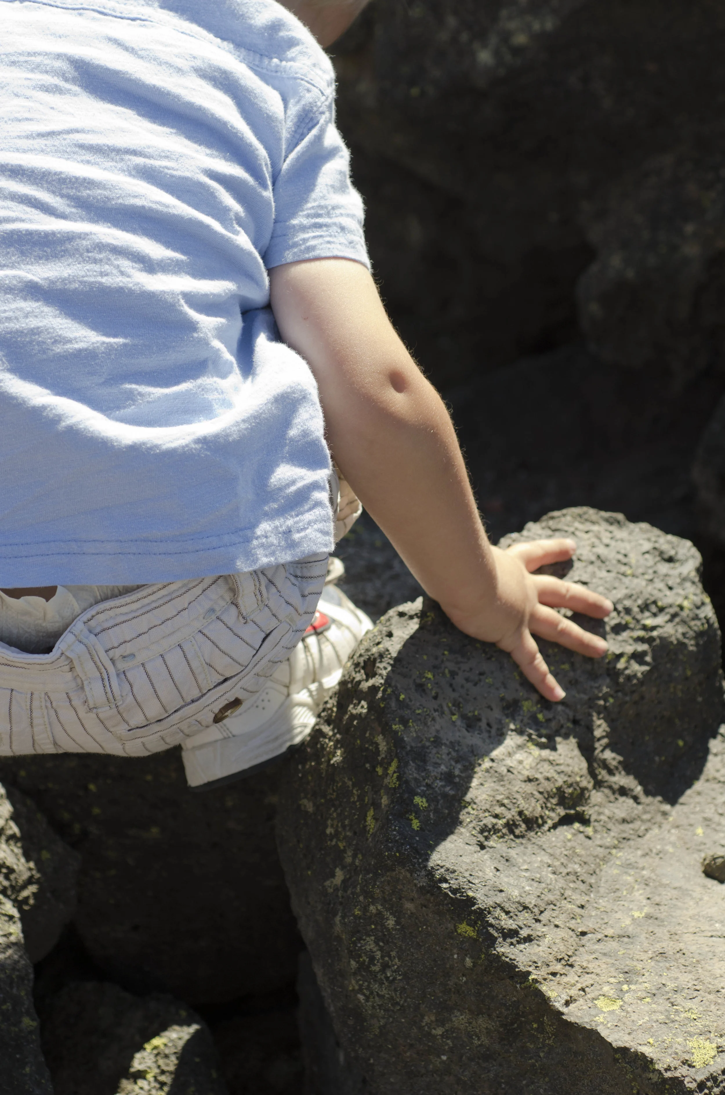
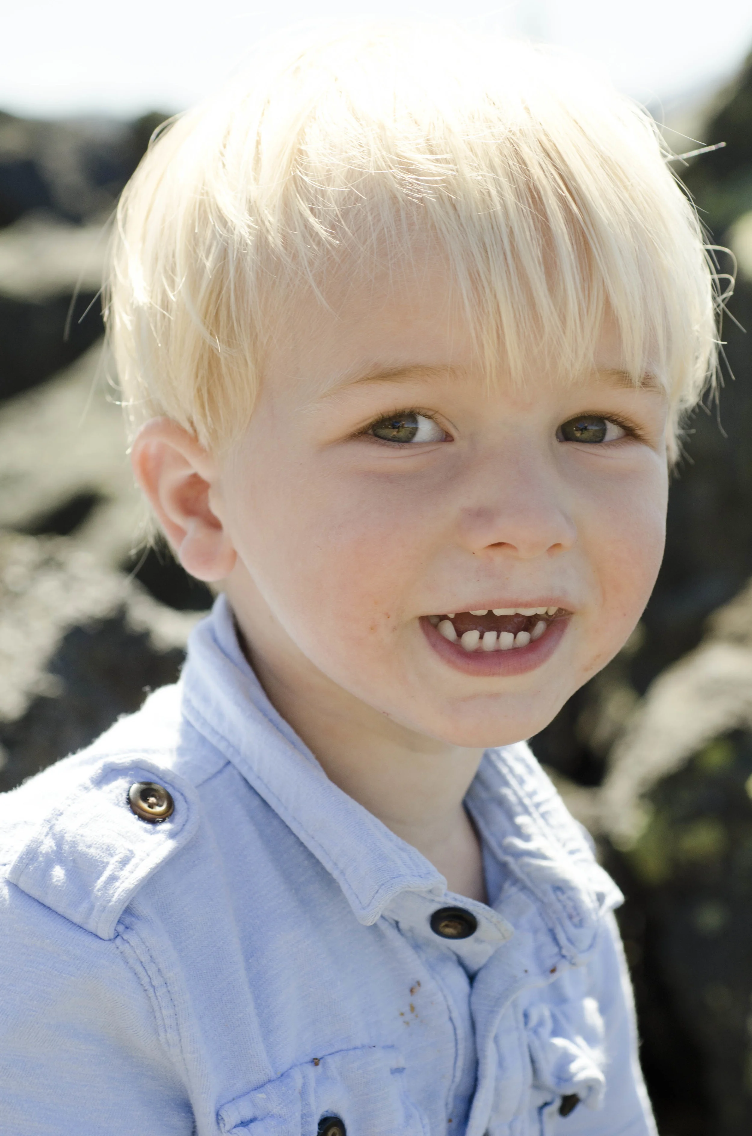
They were sharp lava rocks but our kids were on a mission.

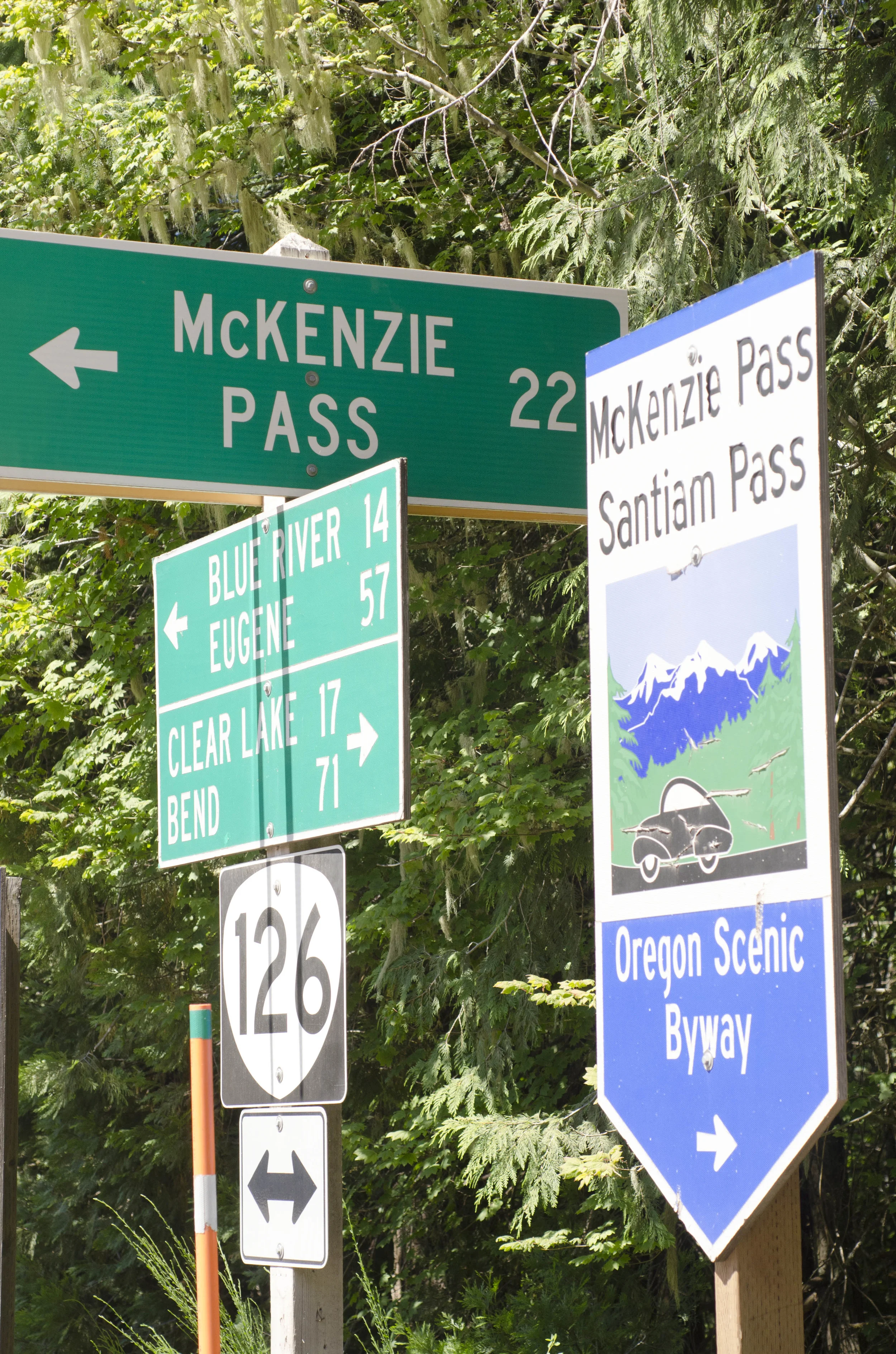
The drive down from MacKenzie Pass was 22 miles of gorgeous flowers, switchbacks, trees, beauty...
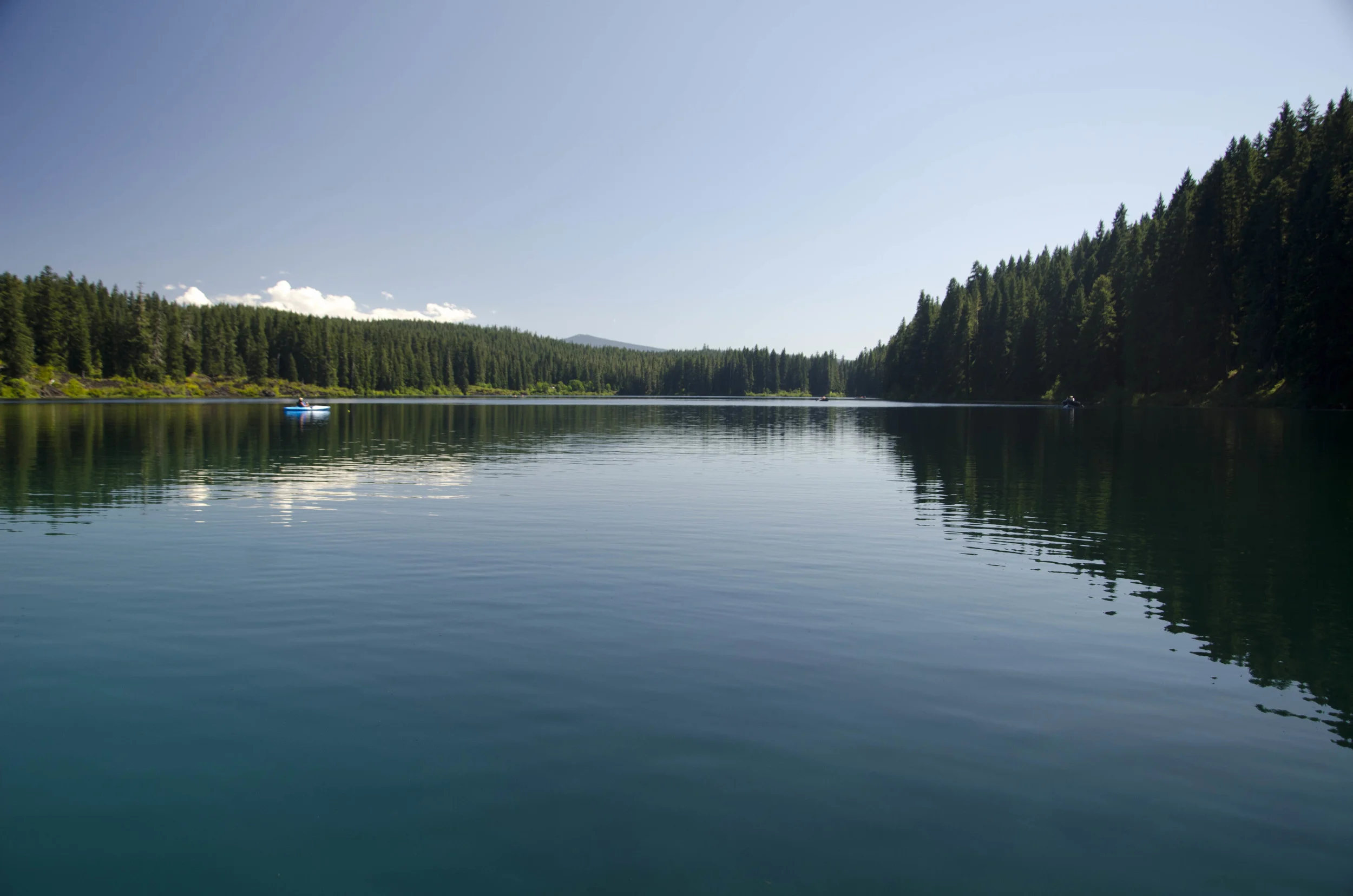
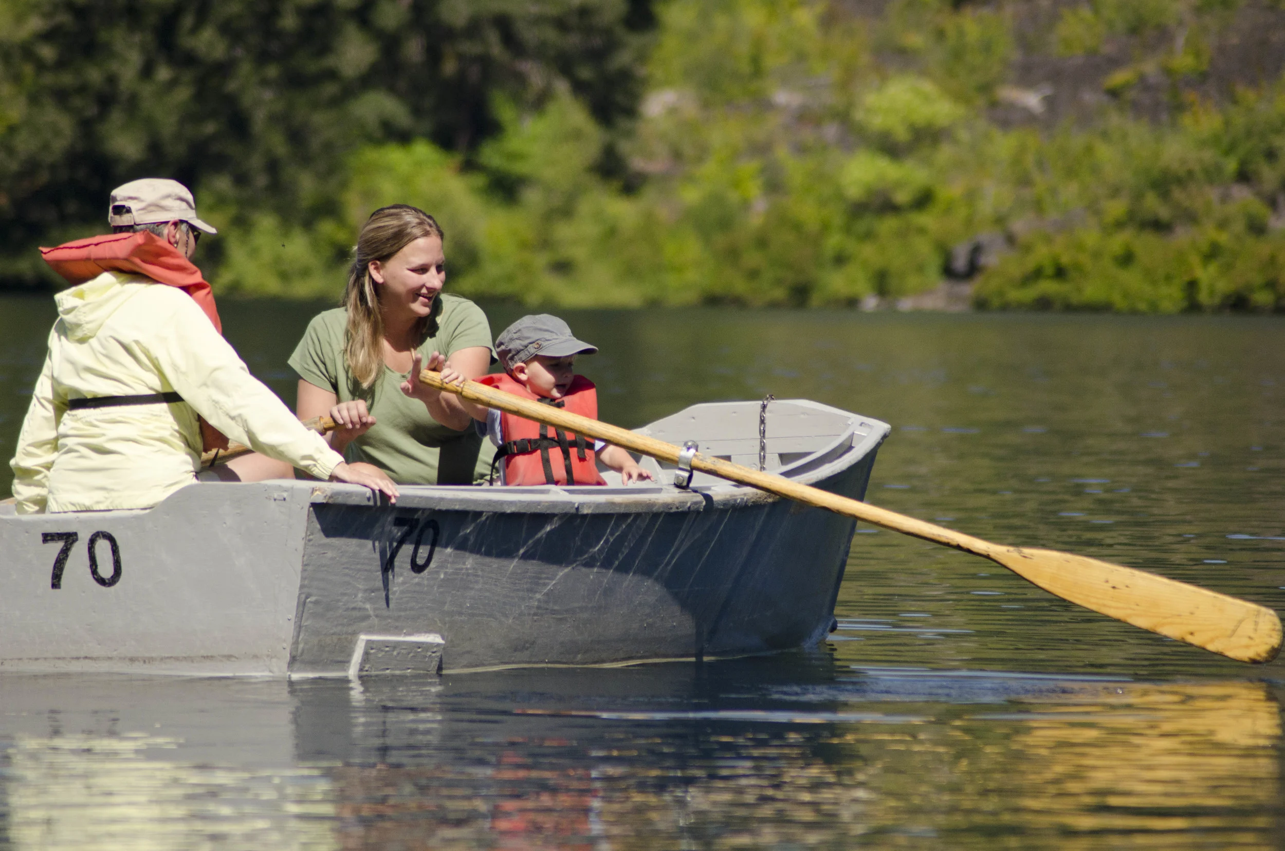
So we went to Clear Lake. Paul and I both had moments where we saw the lake and said, "I know it is named Clear Lake but that is so clear. Ridiculously clear." because it is at least as clear as a swimming pool. And obviously deeper than a pool.
We cooked birthday dinner.
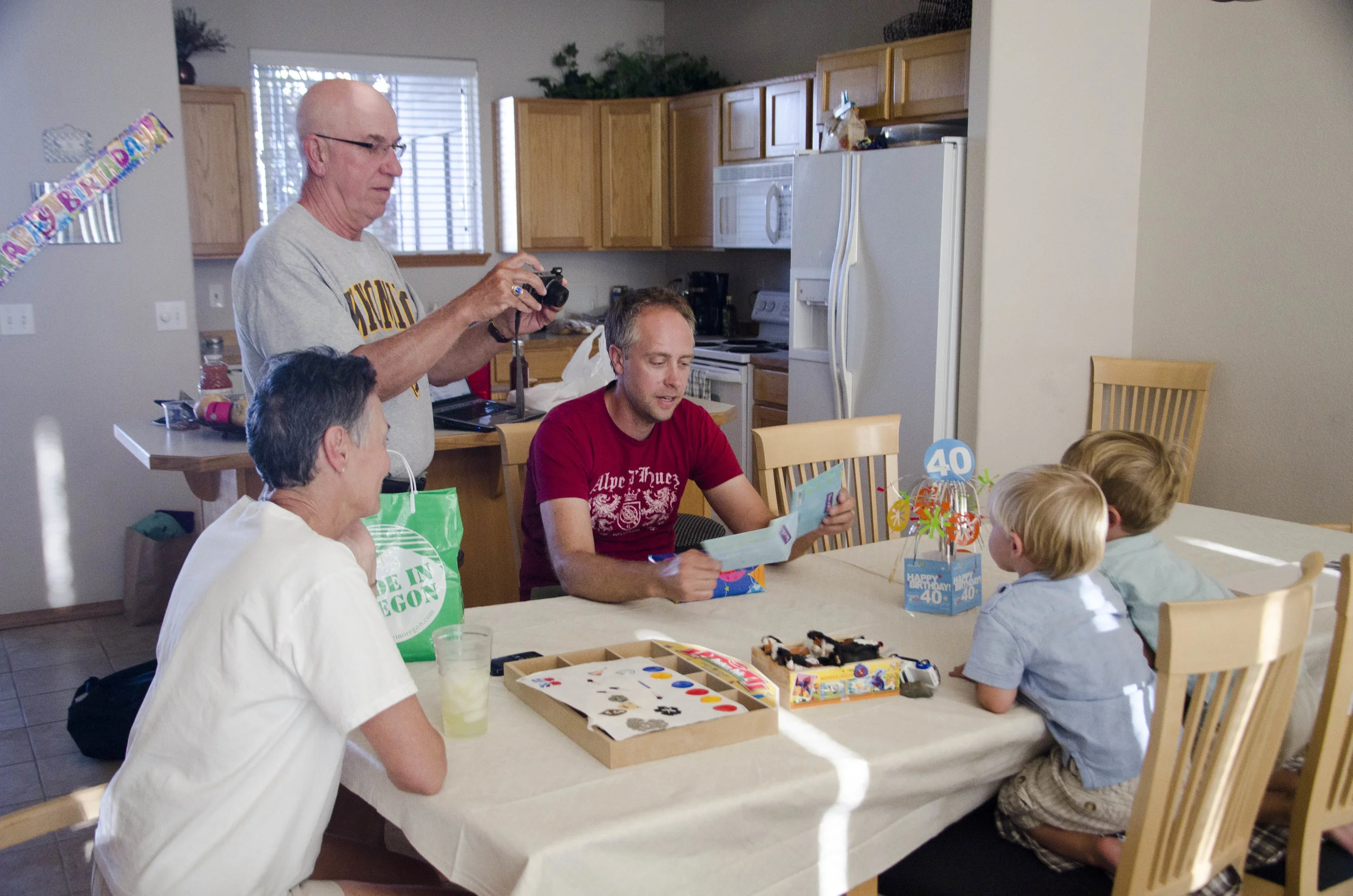
And birthday pie!
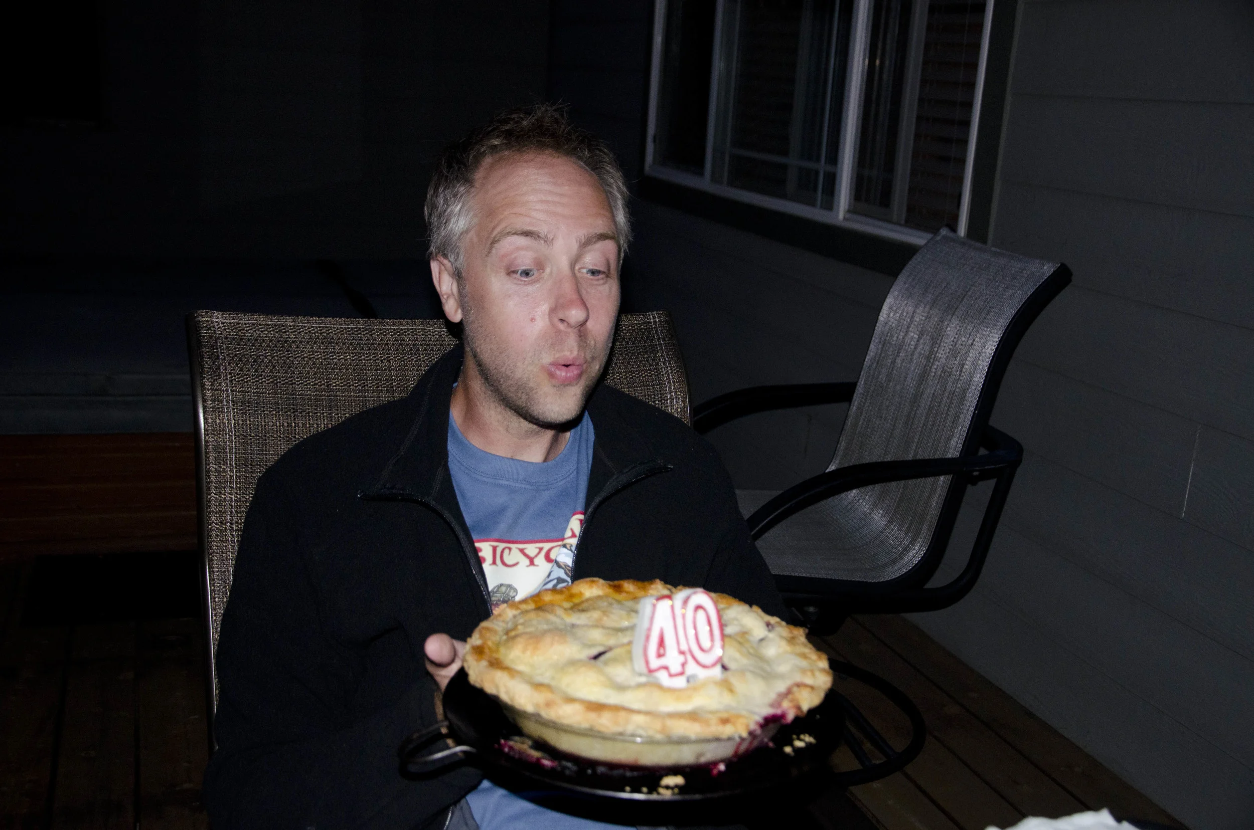
We love you, Paul. Happy birthday!